Pangong Tso
The Colour-Changing Jewel of the Himalayas
About Pangong Tso
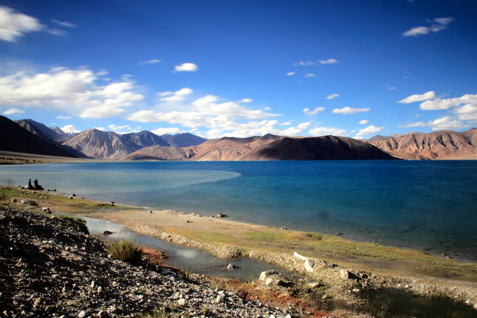
Pangong Tso (“high grassland lake” in Tibetan) is a spectacular endorheic lake stretched across some 134 km of the Changthang plateau at an altitude of about 4,350 metres. Only around one-third of the lake lies in India (Ladakh); the rest extends eastwards into Tibet. Fed by glacial streams and with no outlet, its water is brackish — which is why, despite the freezing winters, almost nothing grows in it and its clarity is astonishing.
The lake's claim to fame is its ever-shifting palette: through a single day the water slides from deep navy to turquoise, jade green, and steel grey as the light and sky change. Since starring in the climax of the film 3 Idiots, the lakeshore at Spangmik has become one of India's most photographed spots, yet the sheer scale of the landscape — bare ochre mountains mirrored in electric-blue water — still feels wonderfully remote.
Highlights
- • Ever-changing shades of blue, green & grey through the day
- • The famous 3 Idiots movie point near Spangmik
- • Sunrise and sunset reflections on a mirror-still lake
- • Lakeside camping at Spangmik, Man & Merak villages
- • Birdlife of the Changthang — bar-headed geese & Brahminy ducks
- • The dramatic drive over Chang La (5,360 m), one of the world's highest passes
- • A completely frozen lake in the depths of winter
Best Time to Visit
The ideal season — roads over Chang La are open, days are mild (5–20°C), camps operate, and the lake shows its famous blues.
Crisp, quiet shoulder season with golden light, but nights drop well below freezing and most camps shut by mid-October.
The lake freezes solid — a surreal white expanse — but temperatures can fall below −20°C and access is difficult; only for the well-prepared.
Visiting Tips
Health & Safety
- • Acclimatise in Leh for at least 2 days before the trip
- • Stay hydrated; avoid alcohol at altitude
- • Do not swim or wade in — the water is icy and the ecology protected
- • Watch for AMS symptoms and descend if they worsen
Practical
- • Carry your Inner Line Permit + photocopies and a photo ID
- • Take cash — no ATMs beyond Leh, cards rarely work
- • Expect no mobile network; download offline maps
- • Fuel up fully in Leh (or Karu) — no petrol pumps en route
- • Carry back all litter; the lakeshore is a fragile habitat
Nearby Places
Leh
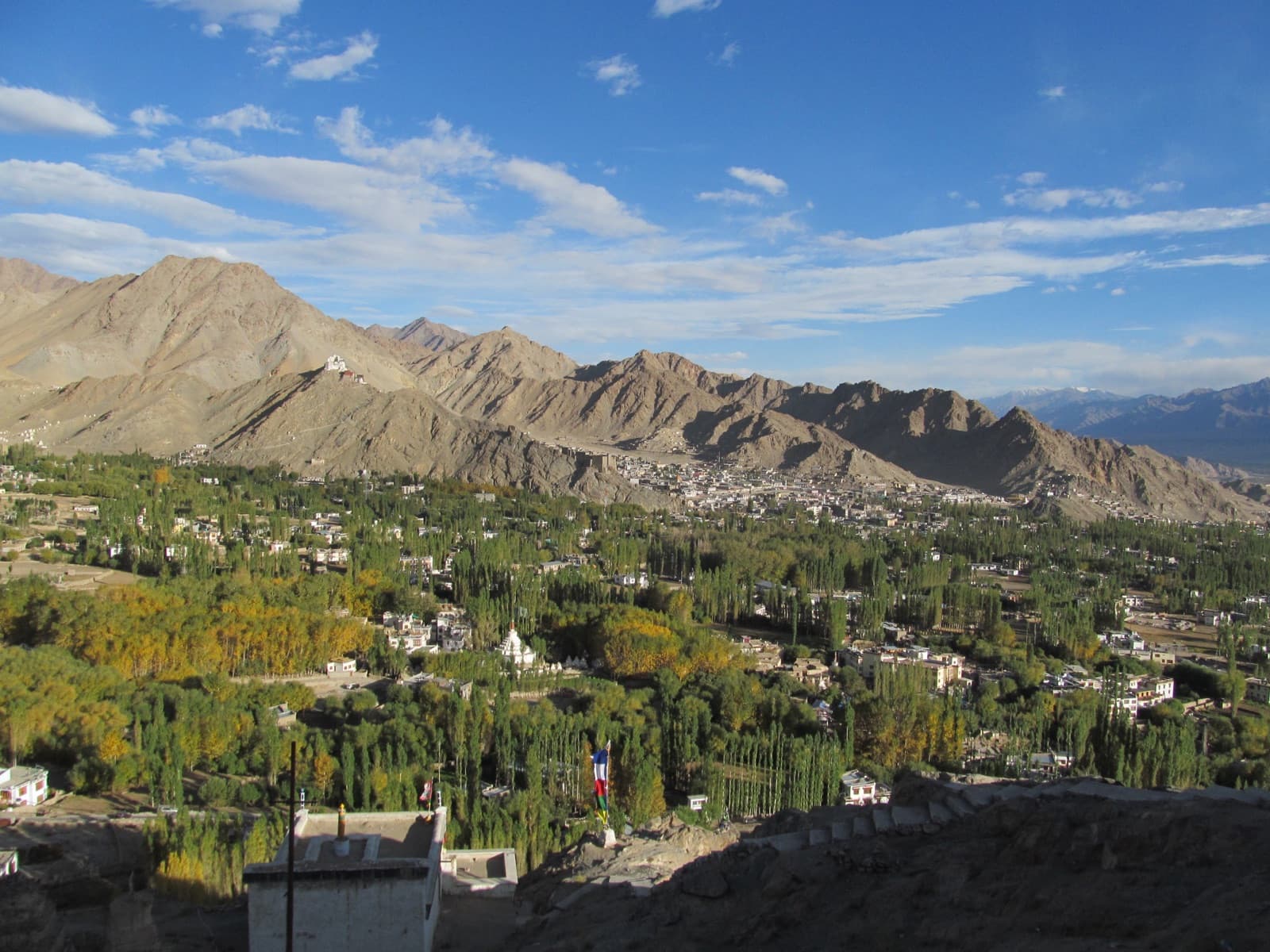
Ladakh's capital and your acclimatisation base — monasteries, markets, Leh Palace and Shanti Stupa.
Khardung La
One of the world's highest motorable passes (~5,359 m), the dramatic gateway from Leh to Nubra.
Nubra Valley
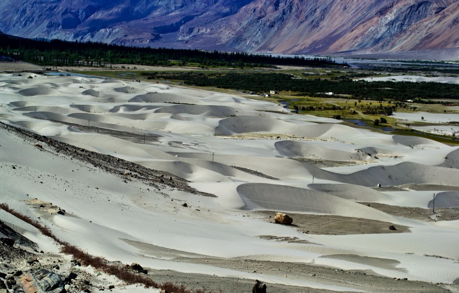
Sand dunes, double-humped camels and Diskit Monastery — connected to Pangong directly via the Shyok road.
Ladakh Circuit Itinerary
Planning the full trip? See our day-wise Chandigarh–Leh–Ladakh circuit itinerary covering Pangong, Nubra & more.
Frequently Asked Questions
Yes. Indian citizens need an Inner Line Permit (ILP), which can be applied for online at lahdclehpermit.in or obtained through the DC Office / registered travel agents in Leh. Foreign nationals need a Protected Area Permit (PAP), issued only through registered travel agents in Leh, usually for groups. Carry multiple photocopies of the permit and a photo ID, as they are checked en route (typically at Tangtse).
May to September is the best window, when the roads over Chang La are reliably open, the lake is a brilliant blue, and lakeside camps at Spangmik operate. The lake freezes completely between roughly December and February — a surreal sight, but winter travel is harsh with temperatures far below zero and most camps closed.
No. Swimming and boating are not permitted at Pangong Tso. It is a high-altitude brackish lake with a fragile, protected ecology (and icy water even in summer), and it lies in a sensitive border zone. Visitors are expected to stay on the shore and carry back all litter.
Yes. Seasonal tented camps and homestays operate at the lakeside villages of Spangmik, Man, and Merak, roughly from May to September. Nights are cold even in summer, and facilities are basic (limited electricity, no heating in many tents), so carry warm layers. Booking ahead is wise in the June–August peak.
The lake sits at about 4,350 m (14,270 ft), and the drive from Leh crosses Chang La at over 5,300 m. Acute Mountain Sickness (AMS) is a real risk — spend at least two days acclimatising in Leh before visiting, stay hydrated, avoid alcohol, and descend or seek help if symptoms like severe headache, nausea, or breathlessness appear.
Pangong Tso (Spangmik) is about 225 km from Leh via the Chang La pass, a drive of roughly 5–6 hours each way. Most travellers leave Leh early in the morning; day trips are possible but an overnight stay lets you see the lake at sunset and sunrise, when the colours are at their best.
Connectivity is extremely limited. Only postpaid connections work in Ladakh at all, and at the lake itself you should expect no usable signal — at best a patchy BSNL or Jio postpaid network near Spangmik or Tangtse. Download offline maps, inform family of your plans, and carry some cash, as there are no ATMs and card machines rarely work.
The climax of the Bollywood film 3 Idiots (2009) was shot on the shores of Pangong Tso, and a spot near Spangmik — complete with the famous yellow scooter and movie-themed props — is now marked as the "3 Idiots point". It is one of the most popular photo stops on the lakeshore.
Location & Map
Quick Facts
Permits
- • Indians: Inner Line Permit — apply online at lahdclehpermit.in or via agents in Leh
- • Foreigners: Protected Area Permit through registered Leh travel agents
- • Carry photocopies; checked at Tangtse en route
How to Reach
Leh → Karu → Chang La (5,360 m) → Tangtse → Spangmik. ~225 km, 5–6 hours. Taxis and shared cabs run daily in season.
Diskit/Hunder → Agham → Shyok village → Durbuk → Pangong. ~150 km; a scenic riverside road that lets you combine Nubra and Pangong without returning to Leh.
Kushok Bakula Rimpochee Airport, Leh (IXL) — then travel by road.
Weather Guide
The sun is intense at 4,350 m — carry sunscreen, sunglasses and a hat, plus warm layers for evenings even in July.
Browse every guide we have for this state: Places to visit in Ladakh