Leh–Manali Highway
About 475 km, five high passes and one 365 km stretch with no fuel. The Leh–Manali highway rewards planning more than nerve.
Official links
- Rohtang permit portal
Only needed if you take the old road over Rohtang top rather than the Atal Tunnel.
- LAHDC Leh permit portal
For onward travel to Nubra, Pangong and other protected areas once you reach Leh.
Official links on this page were checked and found live on . Fees, quotas and dates change — always confirm on the official portal before travelling.
When the road opens
The highway is seasonal. The Border Roads Organisation clears it after the winter snow and it typically runs from around June to October, closing with the first sustained snowfall on Baralacha La. Exact dates shift every year by several weeks, and a late or early season is normal rather than exceptional.
The Atal Tunnel has changed the picture at the Manali end: the Lahaul side as far as Sissu and Keylong is now reachable for much more of the year. The constraint is no longer Rohtang, it is Baralacha La and the high passes beyond.
The passes, in order from Manali
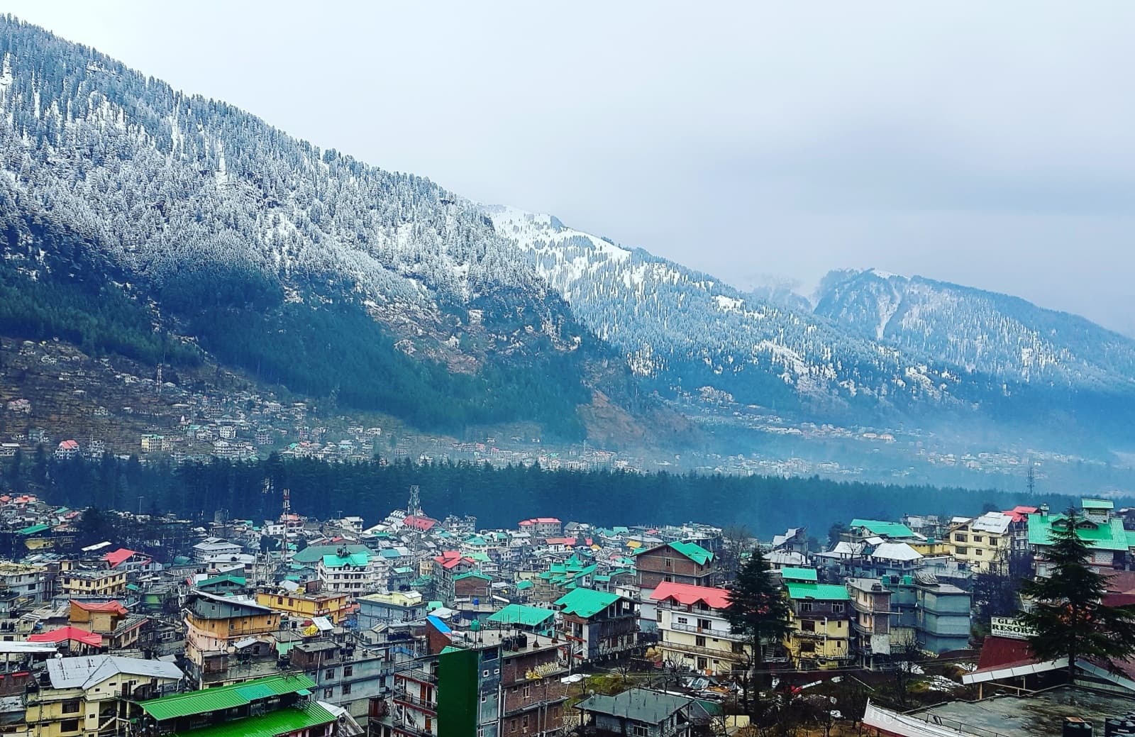
- •Atal Tunnel (or Rohtang Pass, ~3,980 m, with a permit) — into Lahaul.
- •Baralacha La, ~4,890 m — beside Suraj Tal; the pass that usually decides whether the road is open.
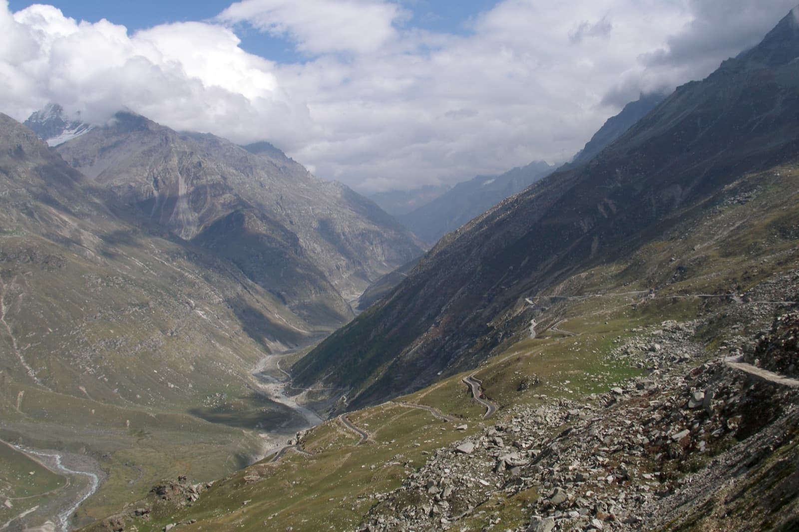
- •Nakee La and Lachulung La — the middle section above Sarchu, reached via the Gata Loops, 21 stacked hairpin bends.
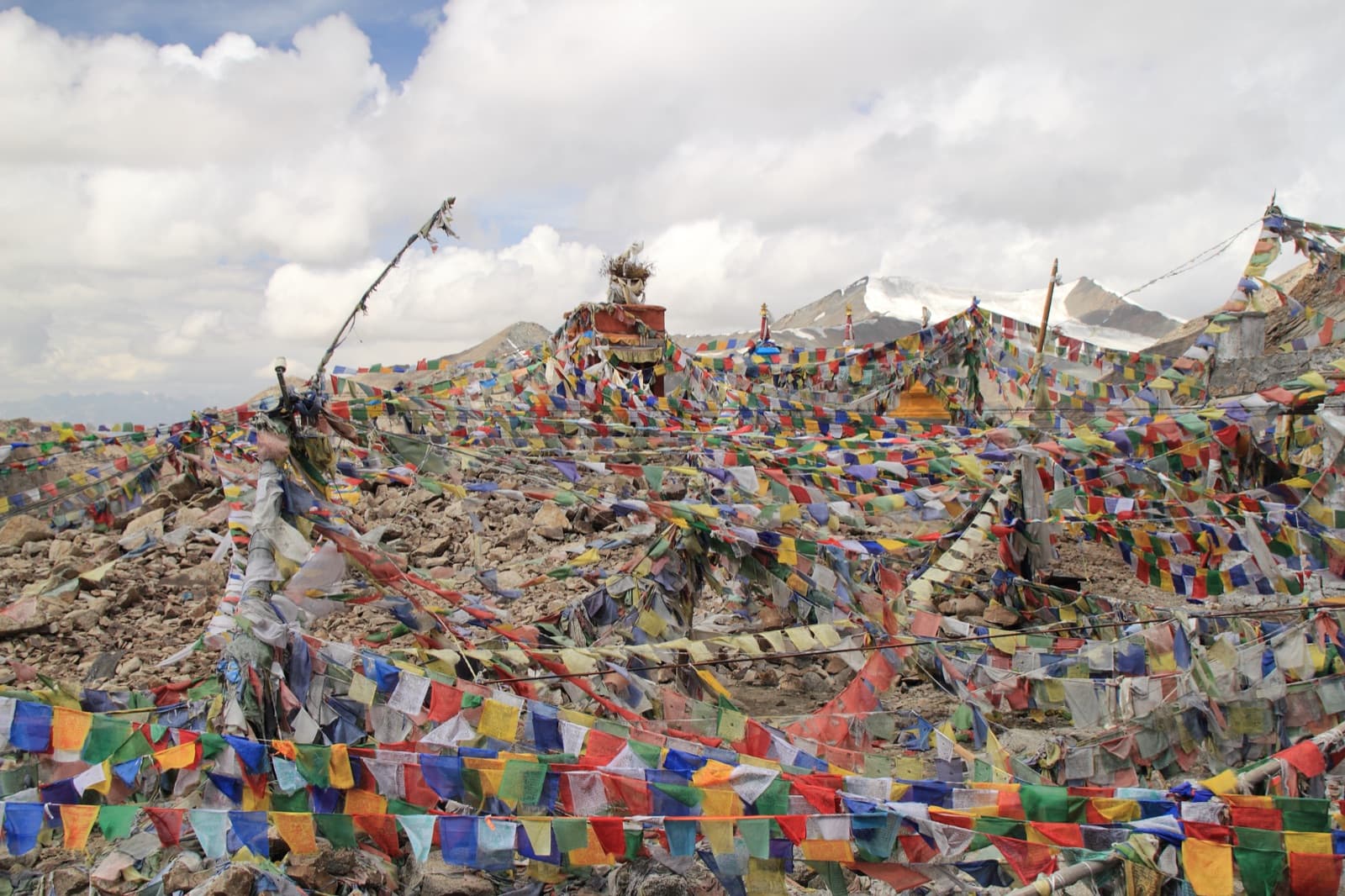
- •Tanglang La, ~5,328 m — the highest point on the route, before the descent to the Indus valley.
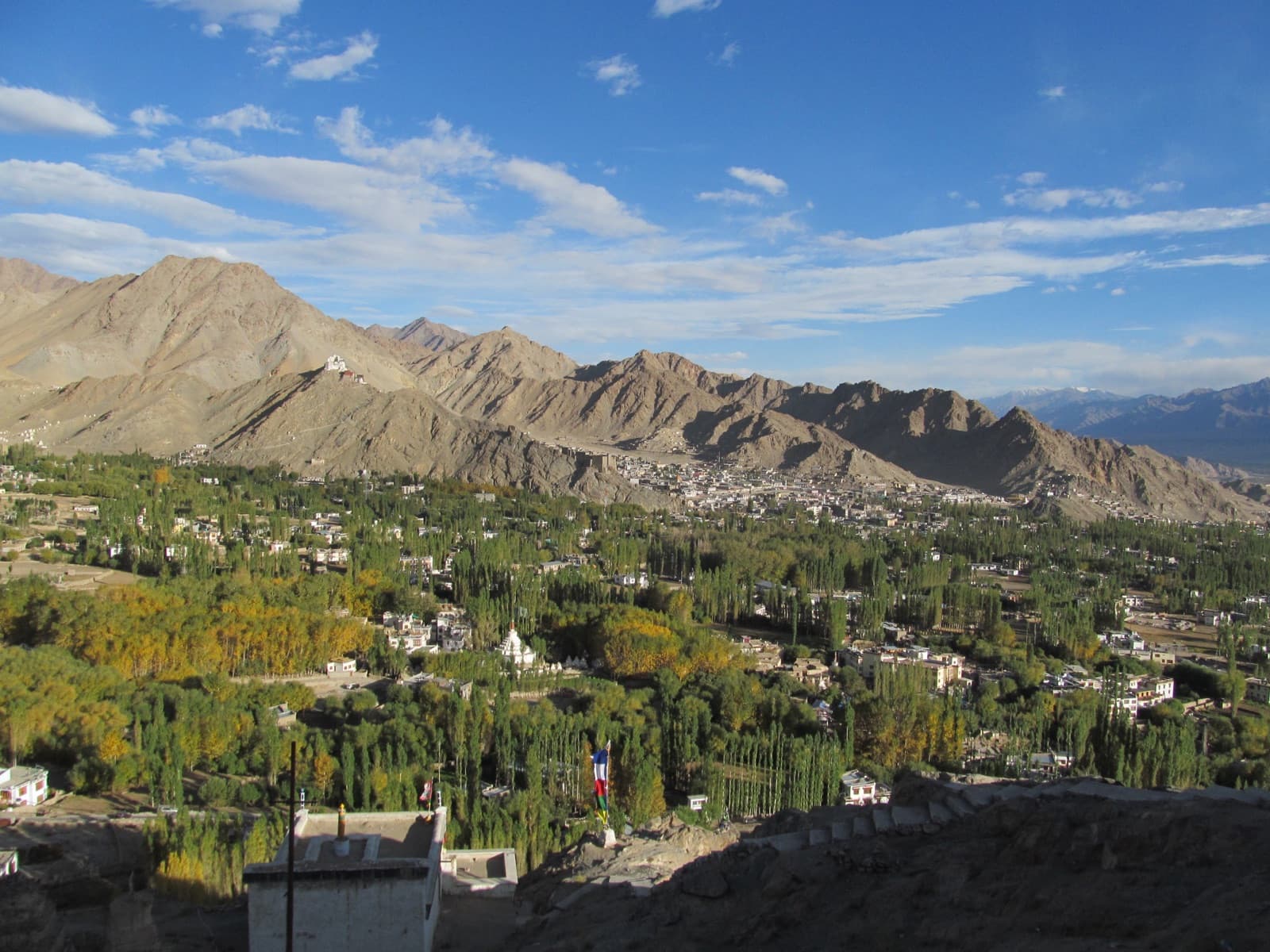
- •Upshi, then Karu and Leh.
Fuel: the one thing that strands people
Tandi, just past Keylong, has the last fuel pump before Leh — a gap of roughly 365 km. There is a widely photographed sign there saying as much, and it is not a joke. Fill completely at Tandi regardless of what your gauge says, and if your vehicle has marginal range or you are riding a motorcycle, carry a spare can.
Going the other way, fill up in Leh (or at Karu) before starting south. Informal black-market fuel is sometimes available at Pang and Sarchu at a steep markup and uncertain quality; treat it as an emergency option, not a plan.
Altitude and where to sleep
The usual split is two days with an overnight at Jispa or Sarchu. Jispa sits around 3,200 m and Sarchu around 4,290 m — if you have not acclimatised, Jispa is the materially safer choice, and the difference is a common cause of a miserable second day.
Driving Manali to Leh in one push is possible but means gaining well over 3,000 m in a day, which is exactly how altitude sickness starts. If you are heading north, plan the Ladakh sightseeing days after a rest day in Leh rather than immediately.
Before you set off
- •Check the current road status locally — BRO closes sections at short notice for snow, landslides or repairs.
- •Carry cash. ATMs are effectively nonexistent between Keylong and Leh.
- •Only postpaid SIMs work in Ladakh; expect no signal across most of the middle section.
- •Download offline maps before leaving Manali.
- •Carry vehicle documents — licence, RC, insurance and pollution certificate are checked.
Frequently Asked Questions
Typically around June, once BRO clears Baralacha La, and it usually stays open into October. The dates move by several weeks year to year, so check locally close to your travel date rather than booking non-refundable transport around an assumed opening.
Tandi, just beyond Keylong. It is roughly 365 km from there to Leh with no official fuel in between. Fill completely, and carry a spare can on a motorcycle or a low-range vehicle.
Jispa, at around 3,200 m, is the safer overnight if you have not acclimatised. Sarchu sits near 4,290 m and catches a lot of travellers out with headaches and sleepless nights. Experienced riders coming from Leh southbound often prefer Sarchu because they are already acclimatised.
No. The highway needs no permit for Indian or foreign travellers. You need a Rohtang permit only if you take the old road over Rohtang top instead of the Atal Tunnel, and a Ladakh permit only for protected areas such as Nubra and Pangong after you arrive.
It is physically possible in a long day, but it means a very large altitude gain and crossing Tanglang La tired. Two days with a night at Jispa is the sensible default, and it is what most operators run.
Srinagar to Leh then Leh to Manali is gentler, because you gain altitude gradually up the Srinagar side and are acclimatised before the high passes. Starting from Manali throws you straight to 4,890 m at Baralacha La within a day of leaving 2,000 m.